


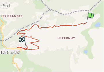

11.9 km | 19.7 km-effort


User


FREE GPS app for hiking
 SityTrail
IGN / Geographical institutes
SityTrail World
The world is yours!
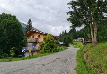
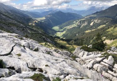
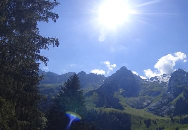
Trail Touring skiing of 9.3 km to be discovered at Auvergne-Rhône-Alpes, Upper Savoy, La Clusaz. This trail is proposed by PhilippeLegault.
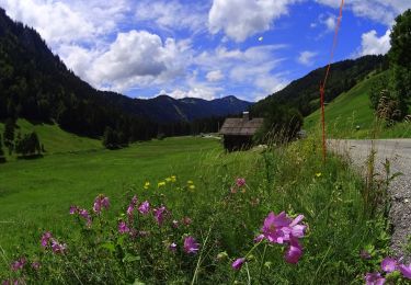
Descente rendue difficile par la neige fraîche, et le sentier non traçé. Quelques beaux paysages de forêts.

Walking
Mountain bike
Mountain bike
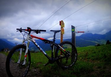
Mountain bike
Walking
Walking
Mountain bike

Walking

Snowshoes